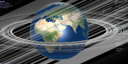
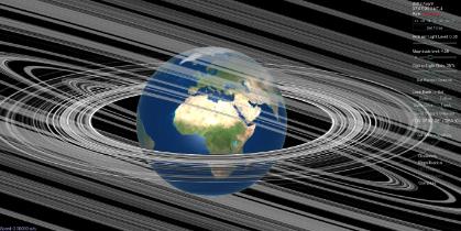
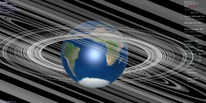
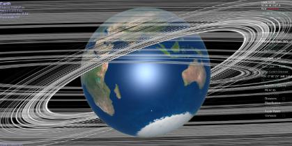
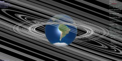
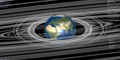
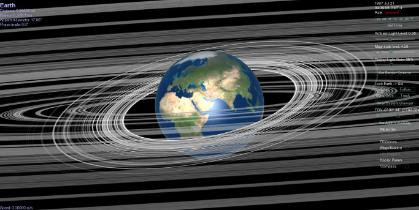
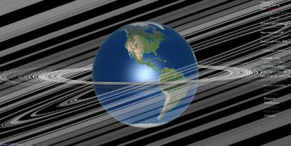
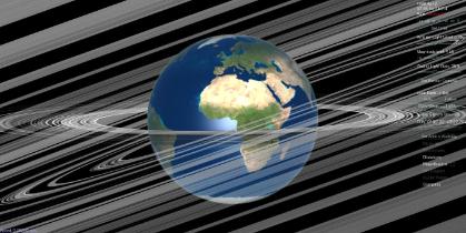
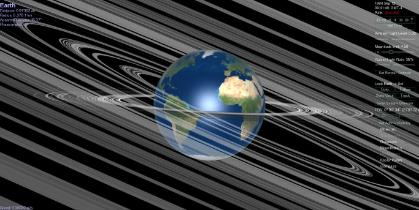
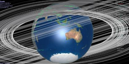
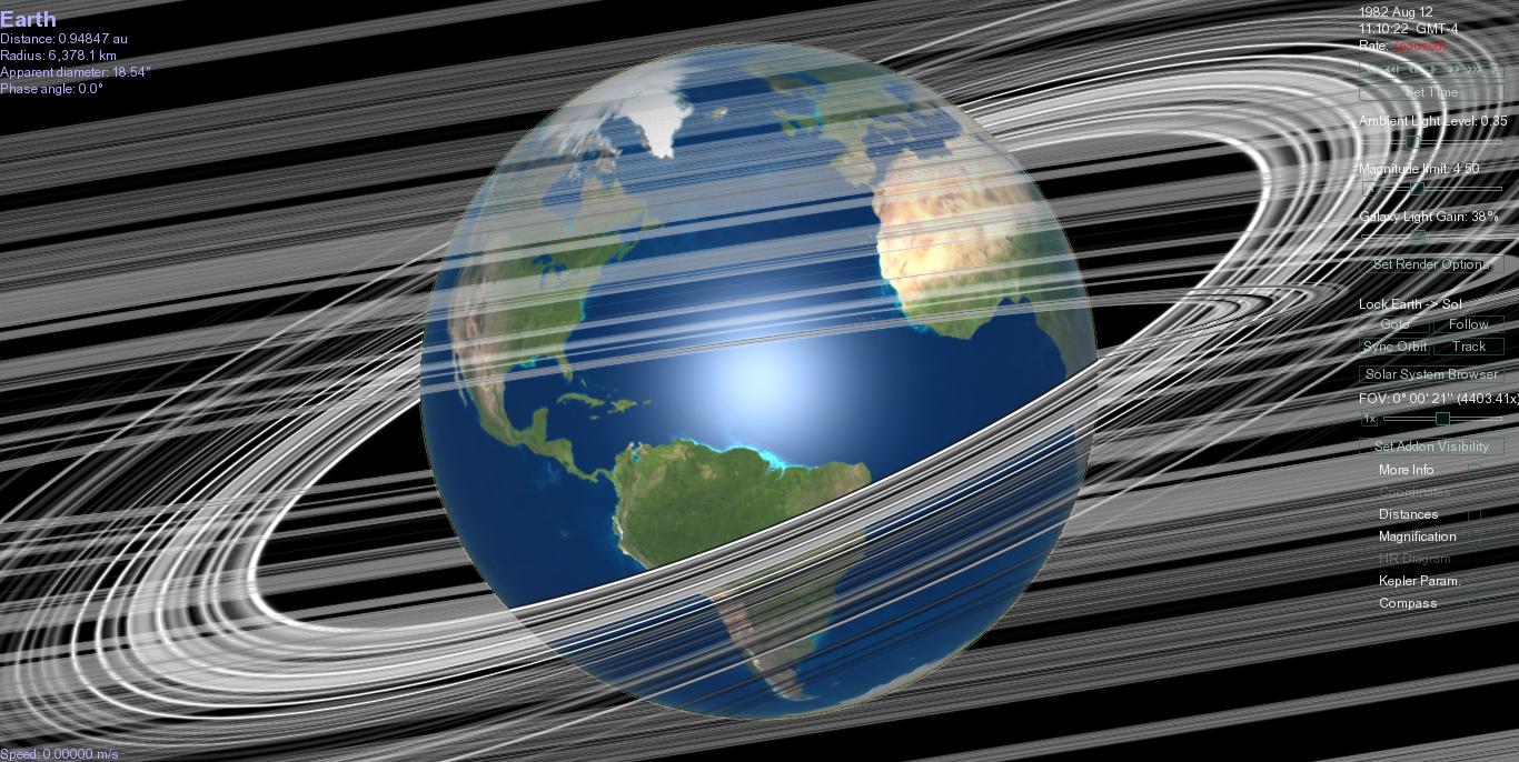
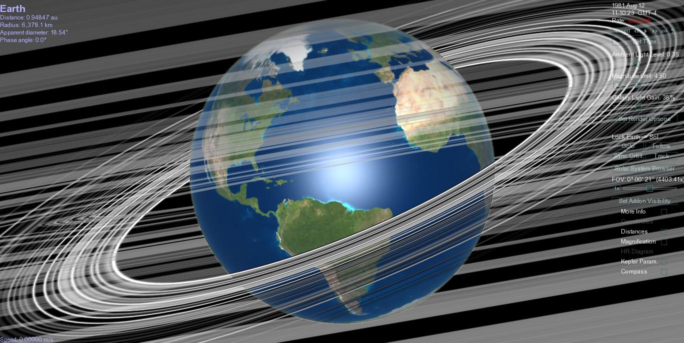
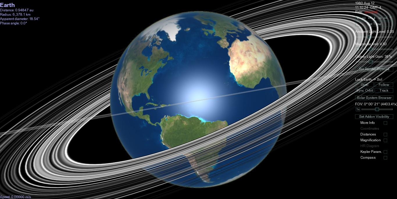
This is a collection of weather events with visualizations of the hypothetical Earth ring system for those event dates.
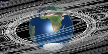
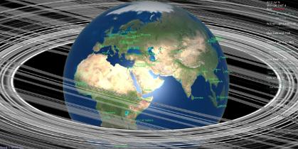
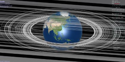
August 4, 2012. Very heavy flooding in Manila from beginning of August. Seasonal monsoon but heaviest in a few years.
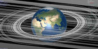
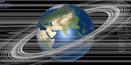
August 11, 2012. Am looking at recent earthquake in Iran. Occurred during the day. Rings seem completely irrelevant but since I looked I think I should record it.
July 19, 2012. Night hail, storm, wind in Kakheti, Georgia.
July 14, 2012, geomagnetic storm. From SWPC NOAA:
"2012-07-14 20:55 Geomagnetic Storm Underway
G1 (minor) Geomagnetic Storm activity is now occurring. Similar conditions, with a chance of category G2 (moderate) levels, anticipated through the weekend. Updates as conditions warrant."
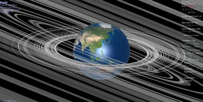
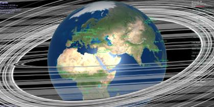
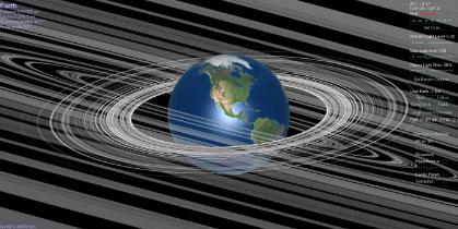
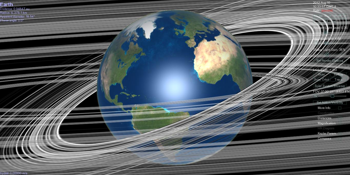
Randomly picked, and it is not the biggest dust storm ever, but big enough that it should make a dust storm. So, did it?
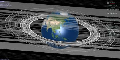
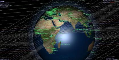
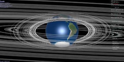
Noting that time in GMT would be about 1700 in GMT-4, made a visualization for that time, see right, to see where rings would be - what areas would have infall if ring dust lost forward momentum by colliding with this outburst?
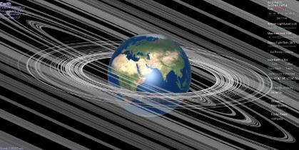
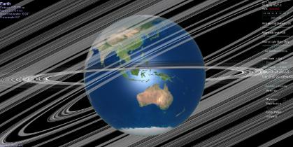
There was a giant sandstorm the next day - in Phoenix, so next is dawn in Arizona, July 15 about 9:30 GMT-4.
What happened in Arizona on July 15:
Very big sandstorm in Phoenix:
http://www.youtube.com/watch?v=2HD63KdznZY
http://www.youtube.com/watch?v=8P2Ltyzfz6s
buildup in Maricopa in case of interest:
http://www.youtube.com/watch?v=0_BIb8YbRbA
rain: http://www.youtube.com/watch?v=glgrkeGlRkM
and rainbow: http://www.youtube.com/watch?v=r3lLWIUWTFc
Also San Angelo Texas:
http://www.youtube.com/watch?v=qqr33R6DB7w
And North Africa:
http://www.eosnap.com/category/duststorms/page/2/
And between North Africa and North America:
http://www.eosnap.com/category/duststorms/page/2/
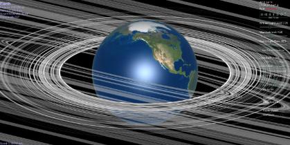
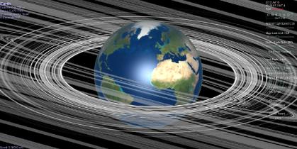
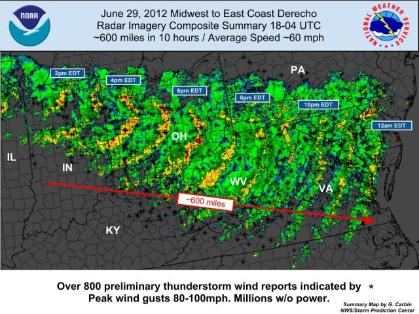
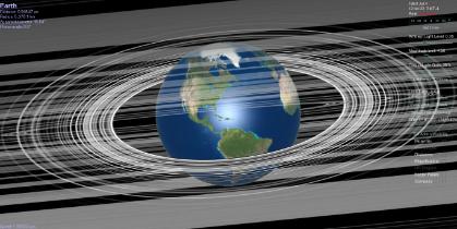
June 29 2012. Night. Derecho Washington DC. Huge storm.
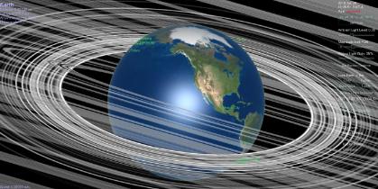
June 28, 2012. Severe floods in western province of Georgia, Samegrelo.
May 15, 2012. Flooding in Tbilisi, Georgia
July 5, 2011. Sandstorm in Phoenix.
US heat wave, July 2011.
Night. Wichita experiences rare heat burst overnight. June 8-9, 2011. From KSN.com:
"
WICHITA, Kansas -- Last night Wichita experienced a very rare weather phenomenon known as a “Heat Burst.” At 12:22 a.m. the temperature at Wichita’s Mid-Continent Airport was 85 degrees. At 12:44 the temperature spiked to 102 degrees. This was a 17 degree increase in only 20 minutes. Winds also gusted between 50 and 60 MPH. The heat burst winds and temperatures rapidly dissipated as they spread across Sedgwick and Southern Butler Counties.
A heat burst is caused when rain falls into very dry air, high up in the atmosphere. The rain quickly evaporates as it falls through the dry parcel of air and that parcel cools rapidly. This dense mass falls rapidly toward the ground, heating up as it compresses. When this hot ball of air hits the ground it spreads out in every direction creating very strong, warm and dry winds.
About an hour before the heat burst, wind gusts up to 40 miles per hour battered the Wichita metro area. This was due to outflow winds from severe weather south of the city, and not related to the heat burst."
June 1, 2011. New England tornado outbreak. Springfield, southern Maine. Note that Springfield is the nail on which the gap swings on this day. "Strong upper level jet stream." From Wikipedia:
"Between 8:18 a.m. and 9:15 a.m. (EDT), severe storms producing 1 in (2.5 cm) hail developed over portions of New Hampshire, Massachusetts and Maine...At 10:05 a.m., ..., a broken line of severe storms had developed over parts of western New York and northern Pennsylvania.[12] With the storms gradually developing throughout the day and an increasing threat of tornadoes,....Around 2:00 p.m., severe storms with damaging hail, measured up to 2.75 in (7.0 cm), and winds around 60 mph (97 km/h) developed in eastern New York. These storms gradually tracked east-southeastward into Vermont and later New Hampshire. One particular supercell produced very large 3.25-inch (8.3 cm) diameter hail at Shaftsbury, Vermont after producing a funnel cloud and baseball sized hail across the border in New York State.[10] ...Between 3:00 and 3:30 p.m., severe storms developed over western Massachusetts and prompted a tornado warning to be issued at 3:28 p.m. for parts of Hampden, Hampshire and Franklin Counties.[15] About an hour later, another warning was issued for Springfield, Massachusetts and surrounding areas. Within minutes, a touchdown was confirmed near Springfield by local law enforcement and amateur radio operators.[16] This tornado was later rated a strong EF3 on the Enhanced Fujita Scale.[17] Over the next hour, damage was reported as far east as Southbridge from this long track tornado. Other brief touchdowns were reported across the state afterward as well, which caused minor damage.
May 30, 2011. Four waterspouts offshore of Sydney. From UK Mail Online:
"Four colossal waterspouts swirled around off the coast of Sydney today amid dramatic thunderstorms. The gigantic twisters - created when tornadoes form above the sea – occurred near Avoca Beach, which lies just to the north of Australia’s capital. The amazing natural phenomena caused a huge stir with locals, some of whom had lived in the area for over 50 years and never seen one. "
March 11, 2011. 2011 Tohoku Earthquake (and tsunami)
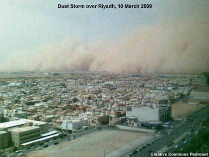
10 March 2009, dust storm in Riyadh. JR 50-60K
Dominican Republic, TS Olga, December 10, 2007
Dominican Republic, TS Noel, October 26, 2007
Hurricane Felix, August 2007, severely hit north coast of Nicaragua. One of the fastest intensifying hurricanes ever.
April 27, 2005. Huge sandstorm, al-Asad, Iraq. Relevant radius is about 100K, about 13R(earth).
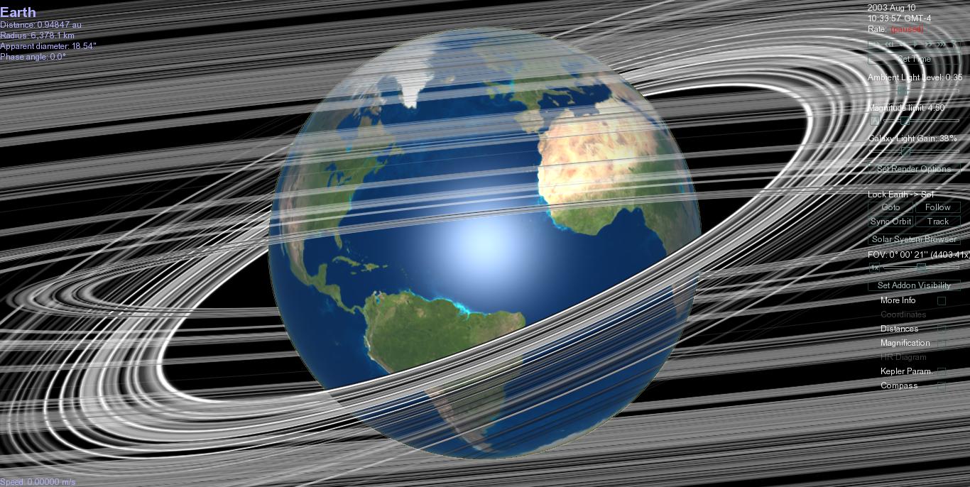
July and especially August 2003, heat wave in Europe, especially France. Temperatures remained high even at night. Note: this Moon Ring extends to small inner radii. Thus whether there should be a shadow or not over France is a matter of the biggest question of the mass distribution. Over France is approx 50K, thus about 8R(earth).
November 10, 2001, torrential rain in Algeria. Fourteen provinces in northern Algeria suffered from flash flood of mud and water following torrential rains in the Bouzareah massif.
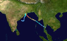
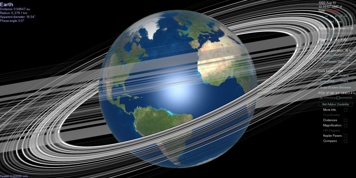
October 29, 1999. Orissa cyclone. Huge, damaging tropical cyclone.
From Wikipedia, the path:
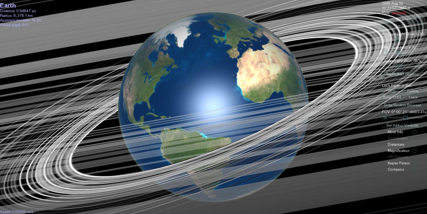
October 1998 Hurricane Mitch in Central America - Honduras, Nicaragua and others. Oct 29 to Nov 3 hovered over Central America.
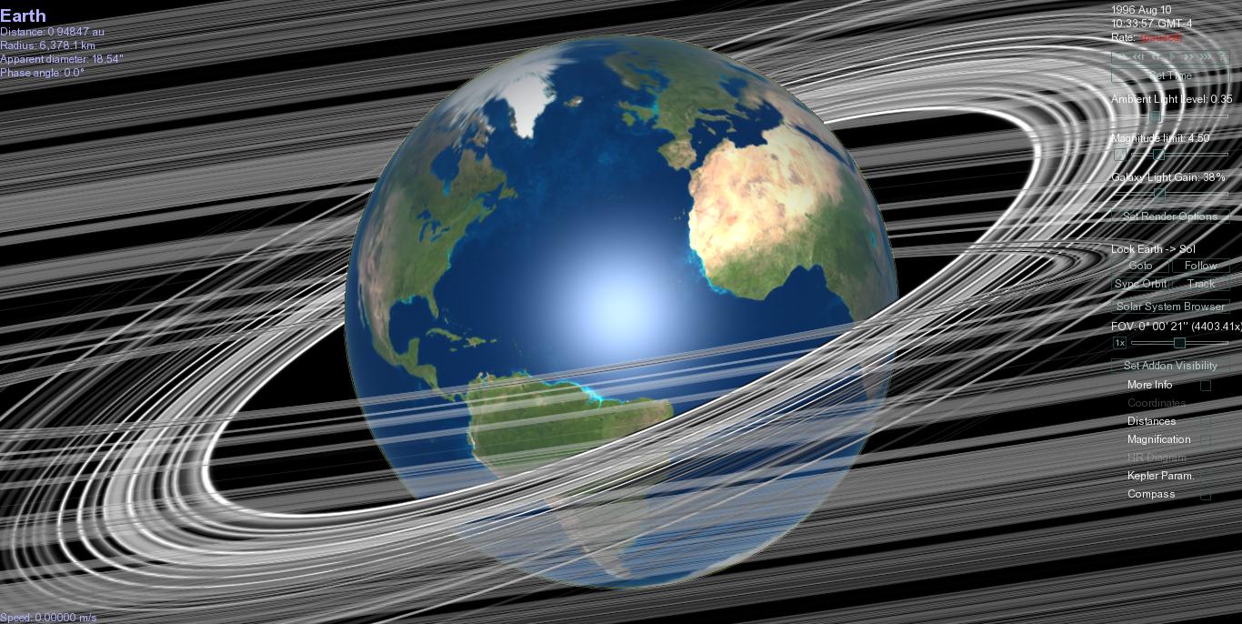
Early summer of 1998 several major rivers in Kyrgyz Republic flooded. Compare corridor of rain this year, straight up from Arabian Sea sideswiping Tien Shan.
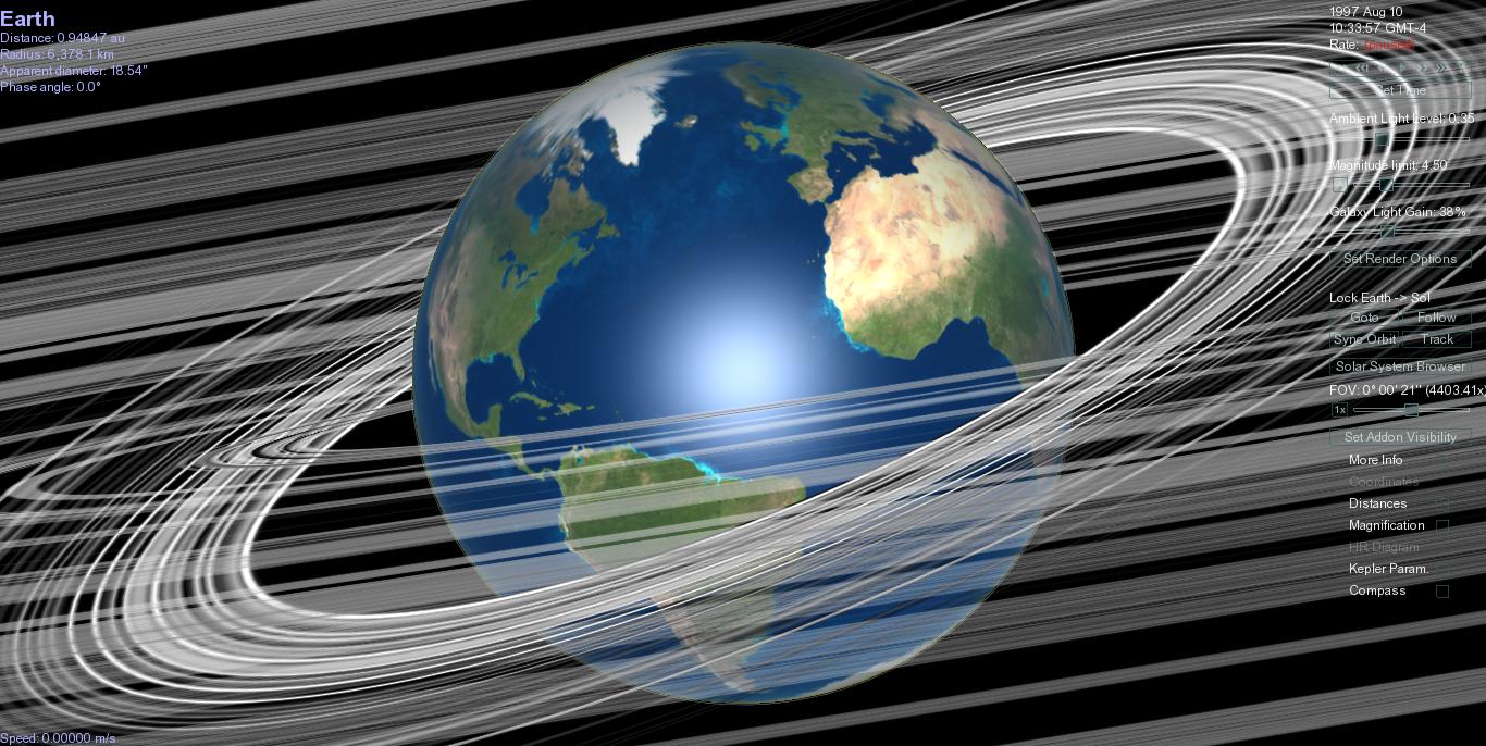
Poland, Germany, Czech Republic. July 1997. Flood. (CME April 1997. Far side edge? Or is it like the England/Wales rain of this year and 2011, when SE Europe was hot and dry but the northern marine climates were very rainy. Thought that was Gulf Stream bringing north currents cooled in recent passage.) Was a strong El Nino year, passage of ring was in March or so. Long long exposure to sun up there. Land heated and Poland had a monsoon?
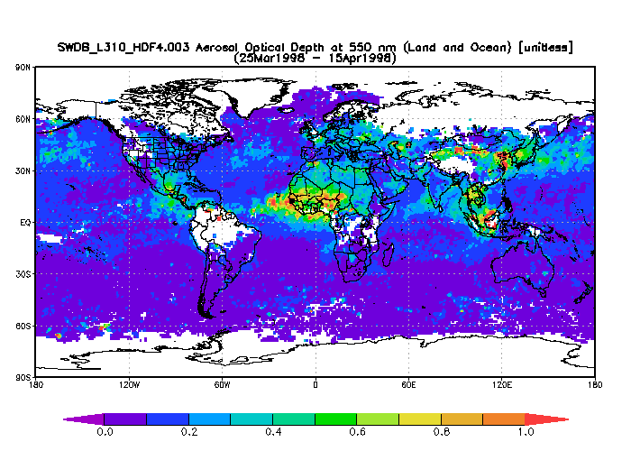
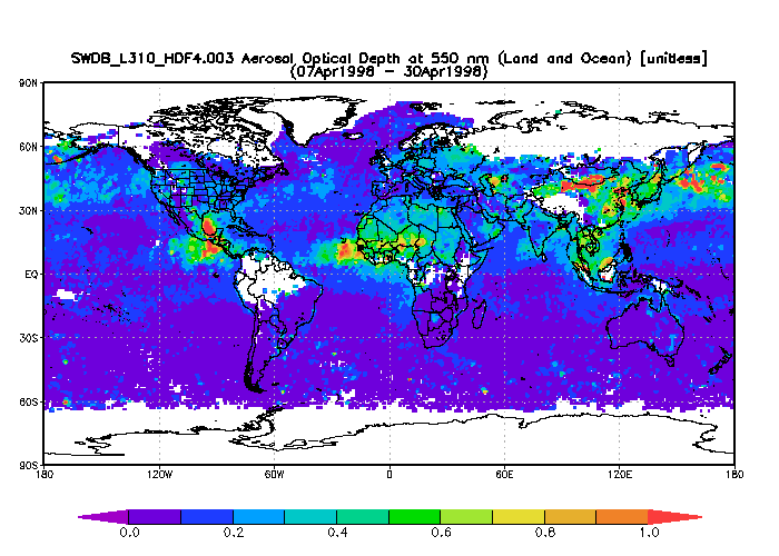
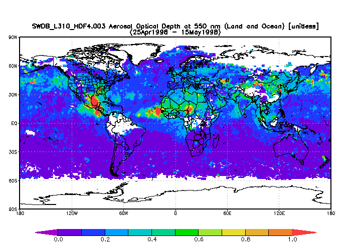
April 1998 a flow of dust from Asia to state of Washington, incident in Secret Life of Dust. Look at slants of dust trails, and the night side of the rings.
Tropical Storm Debbie, September 1994, flooded St. Lucia
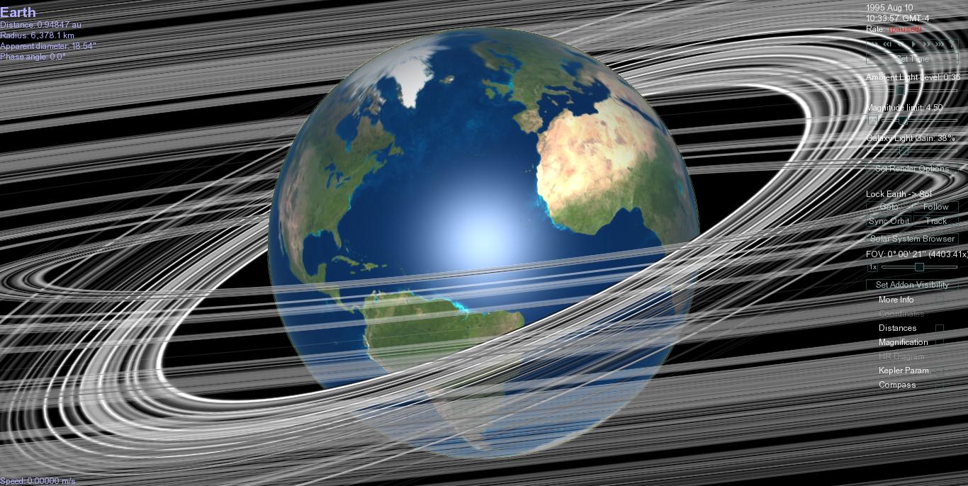
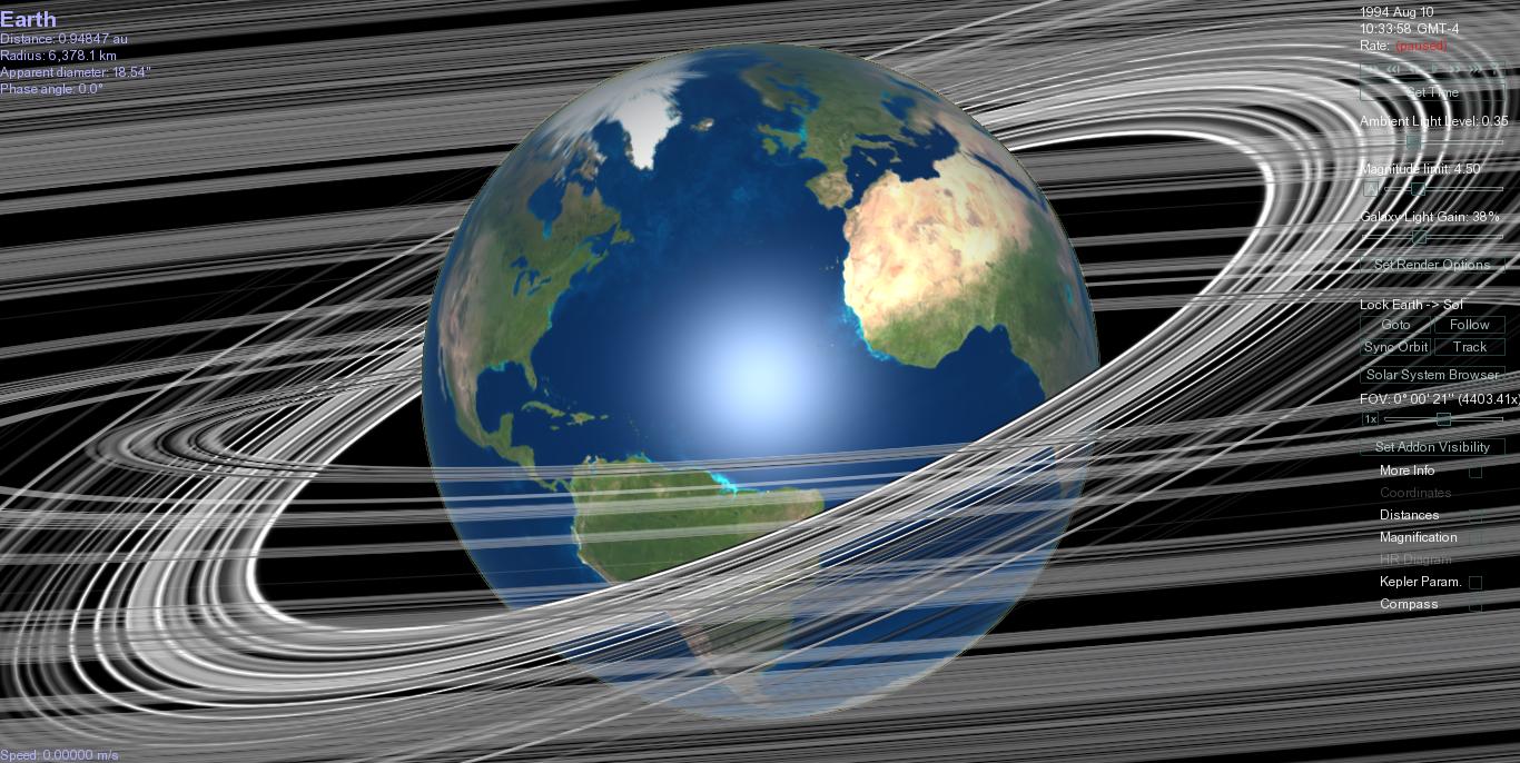
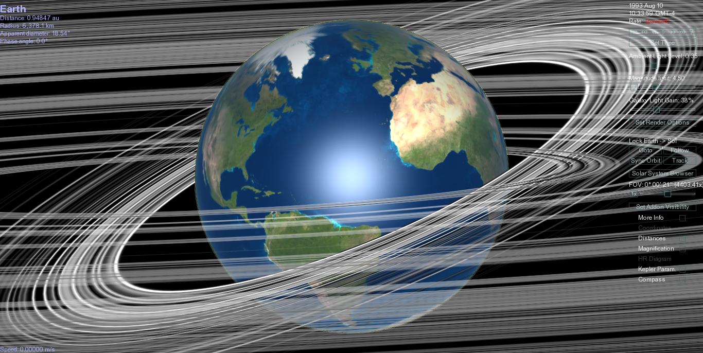
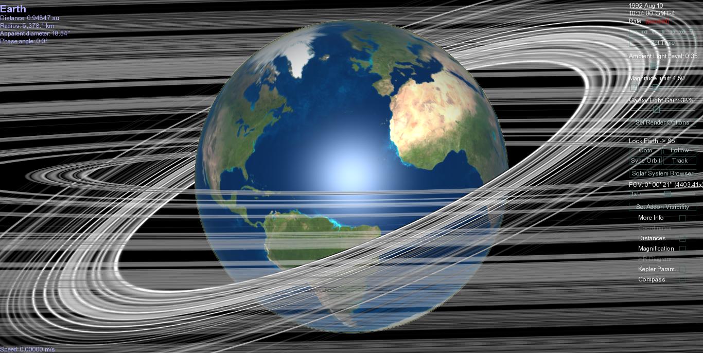
January 10, 1992. Storm in eastern Pacific. Container of rubber ducks falls off ship. Figure below is from Mail Online: http://www.dailymail.co.uk/news/article-464768/Thousands-rubber-ducks-land-British-shores-15-year-journey.html

Eruption of Mount Pinatubo, June 15, 1991
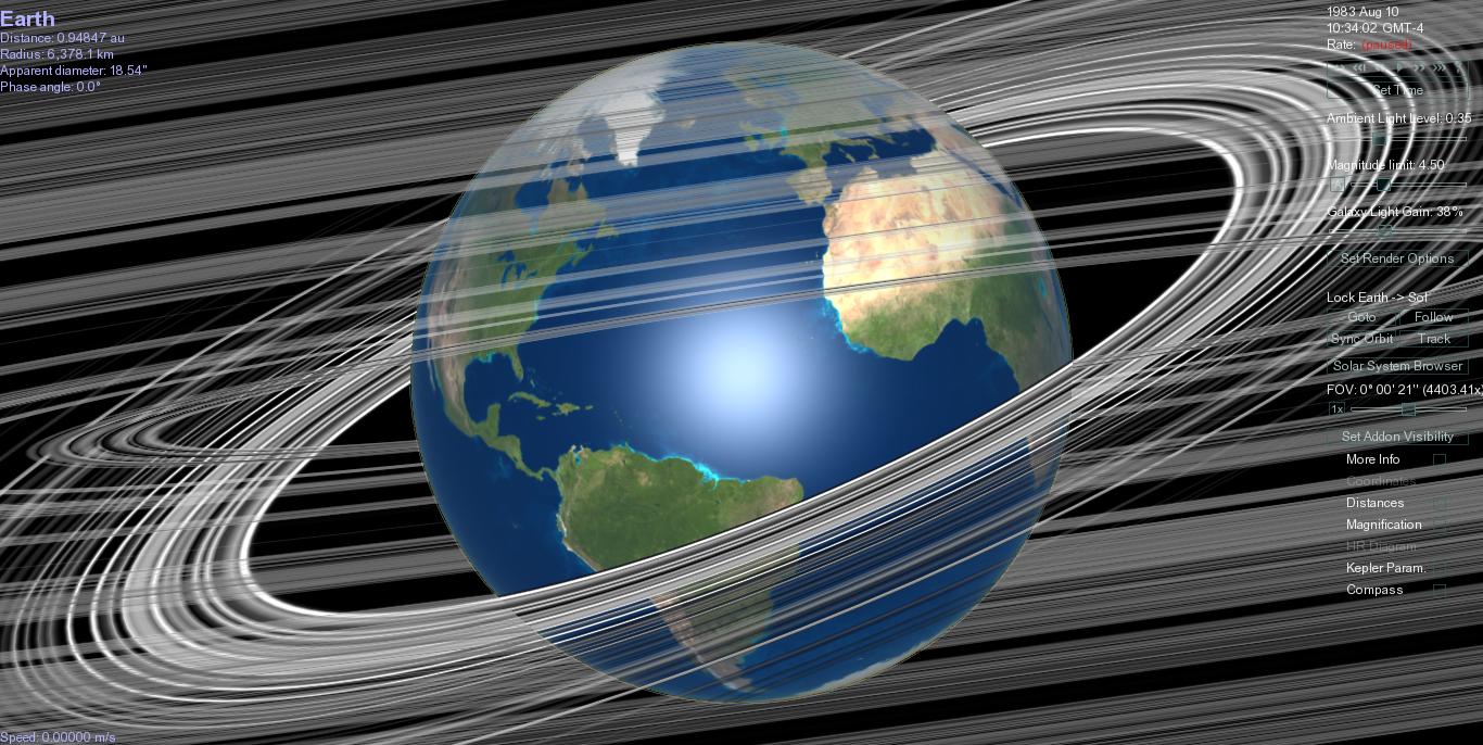
4 July 1983, Peru flooding.
Quote from NCBI: "From December 1982 through July 1983, Peru was plagued by disastrous consequences of El Nino/Southern Oscillation phenomenon. While the northern part of the country was devastated by torrential rains and floods, central Andean Peru endured landslides and flash floods, the southern Altiplano suffered a severe drought. " Note, this brought with it respiratory diseases and gastrointestinal.
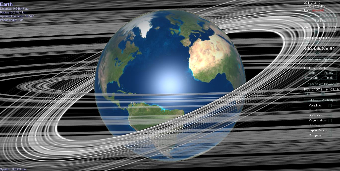
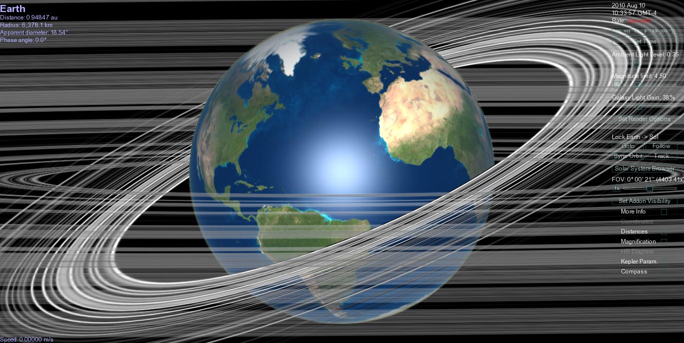
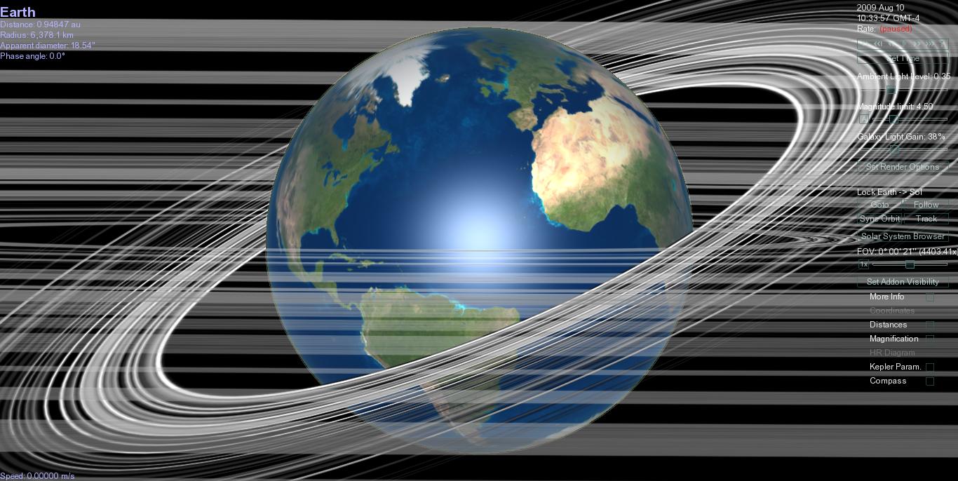
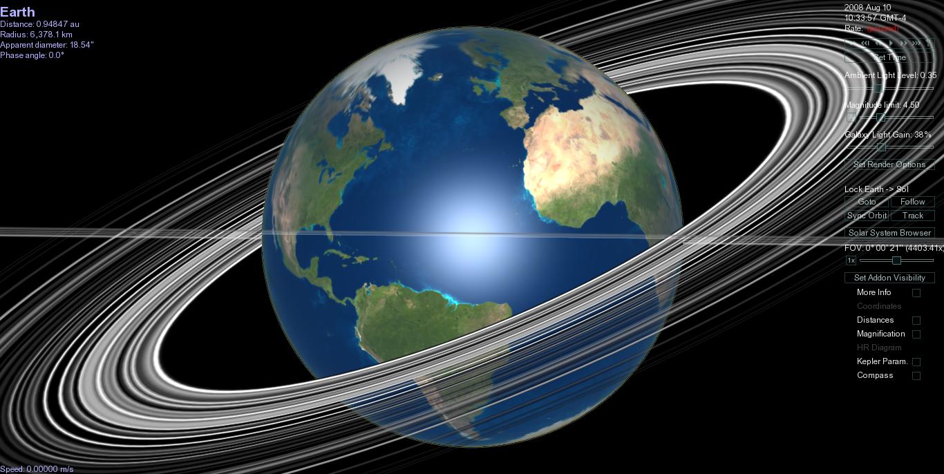
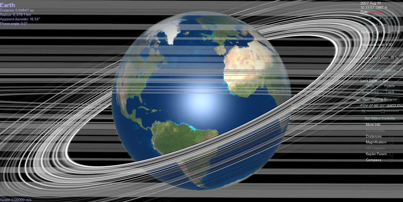
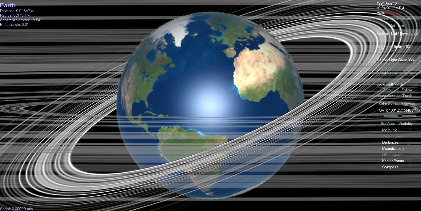
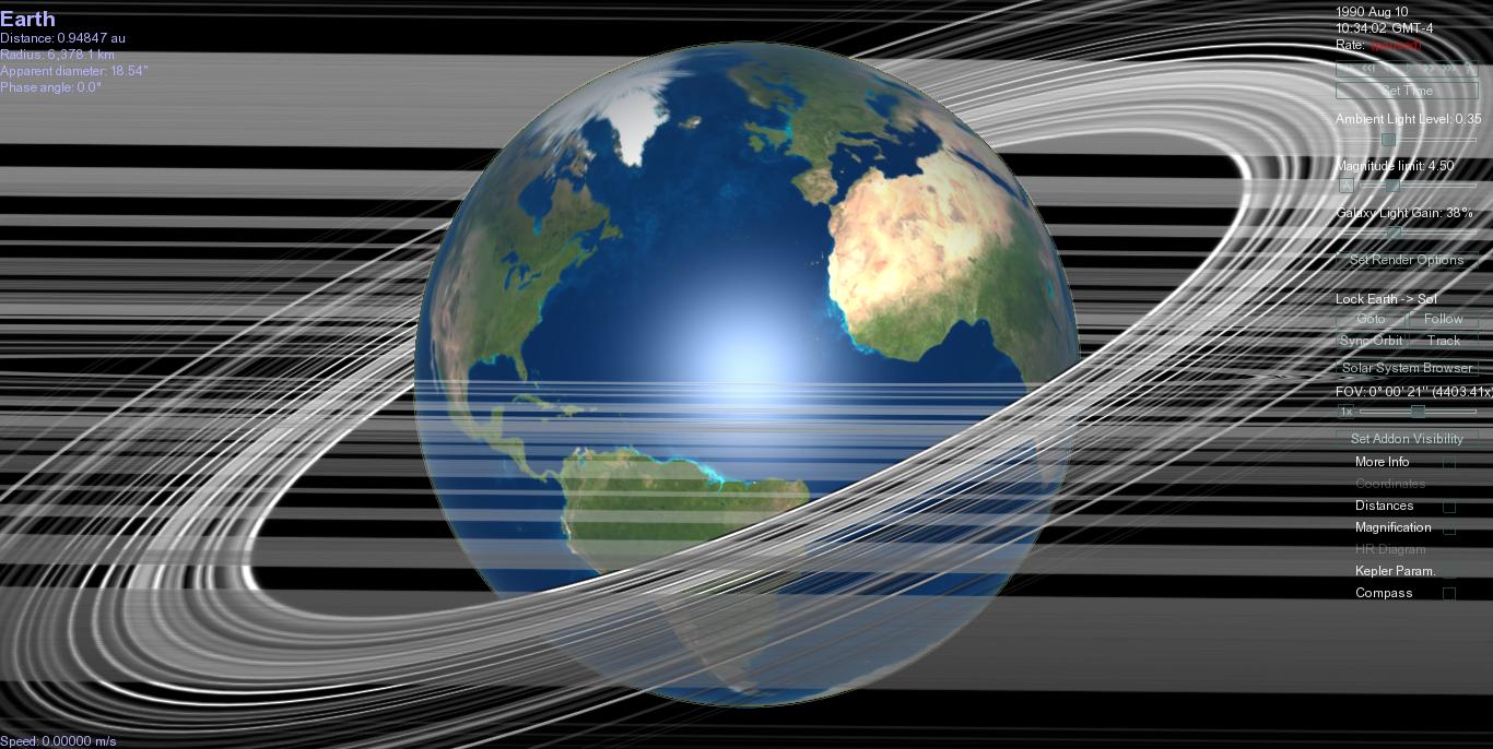
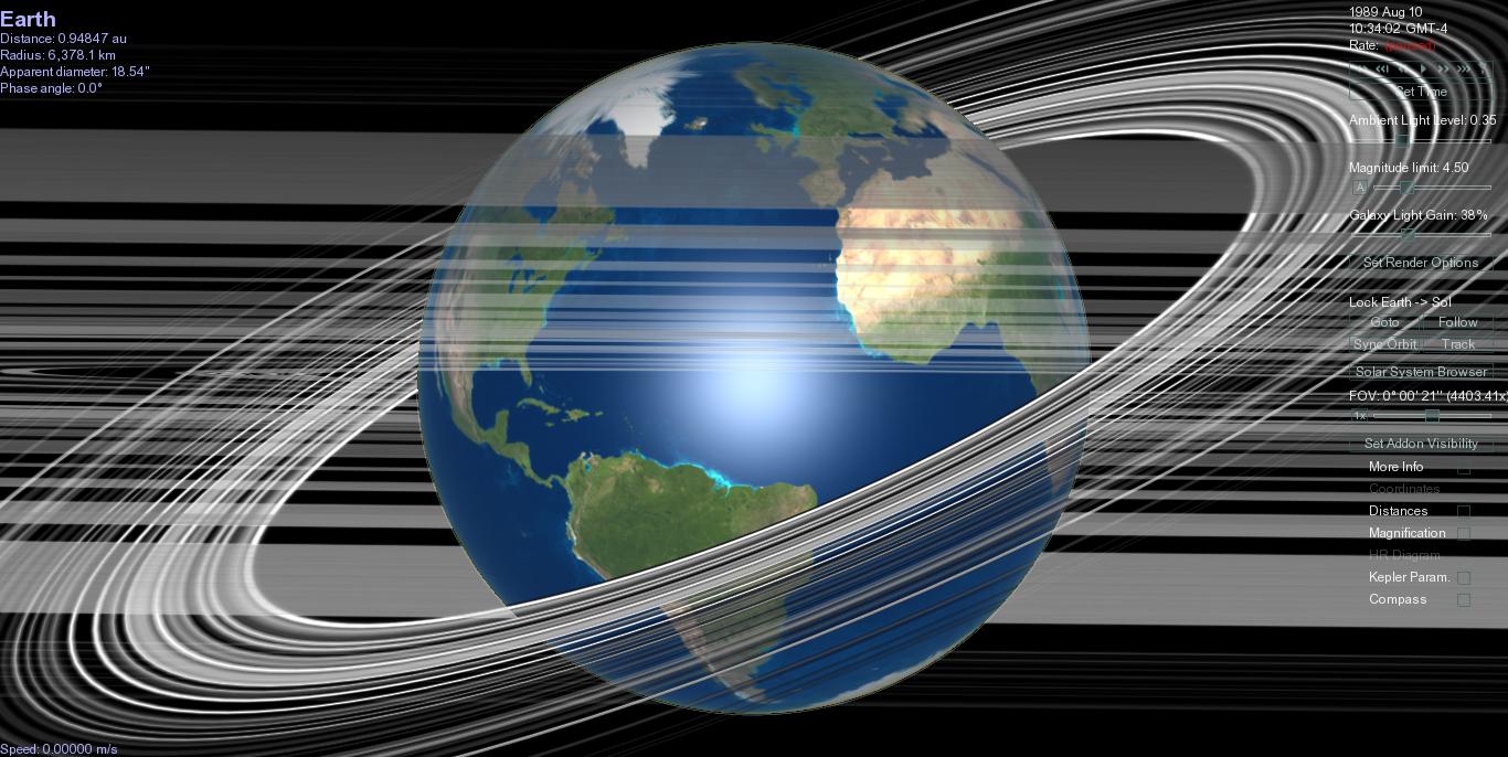
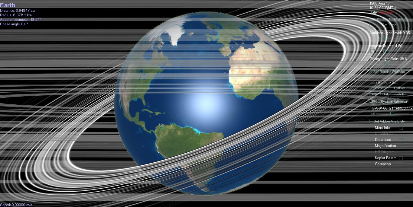
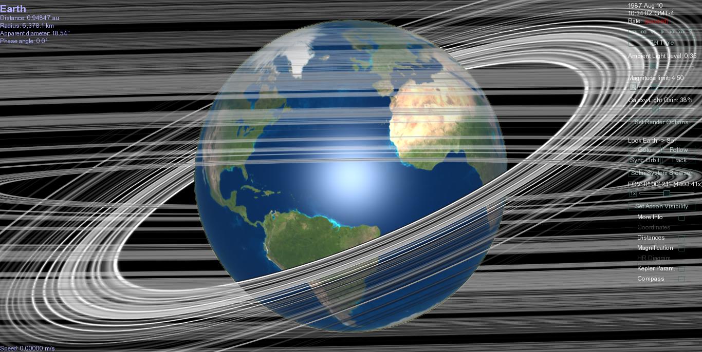
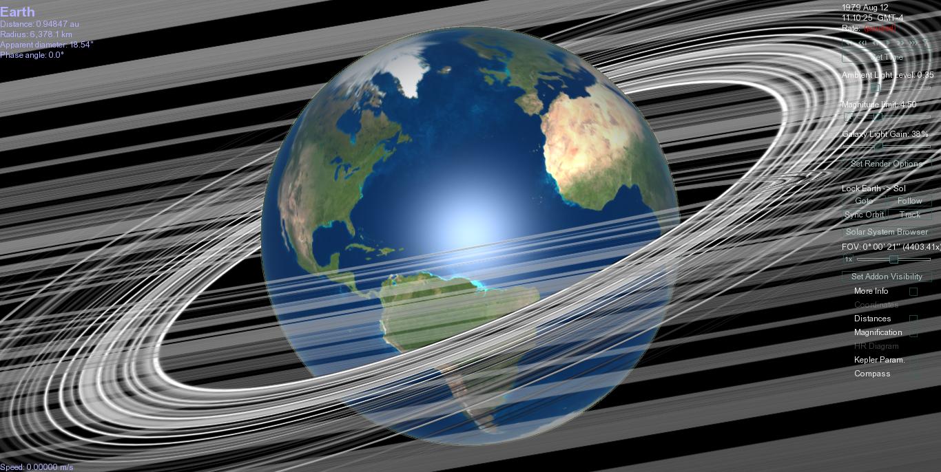
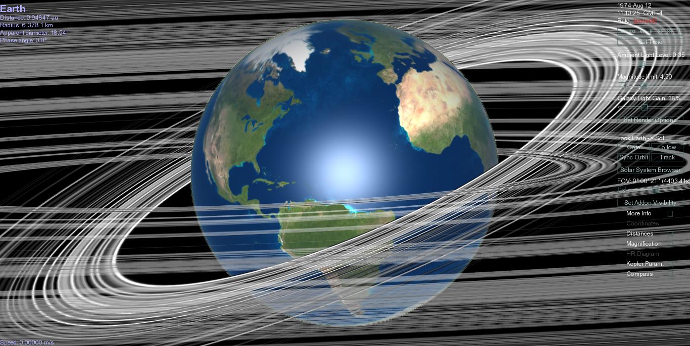
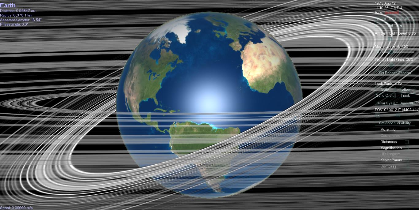
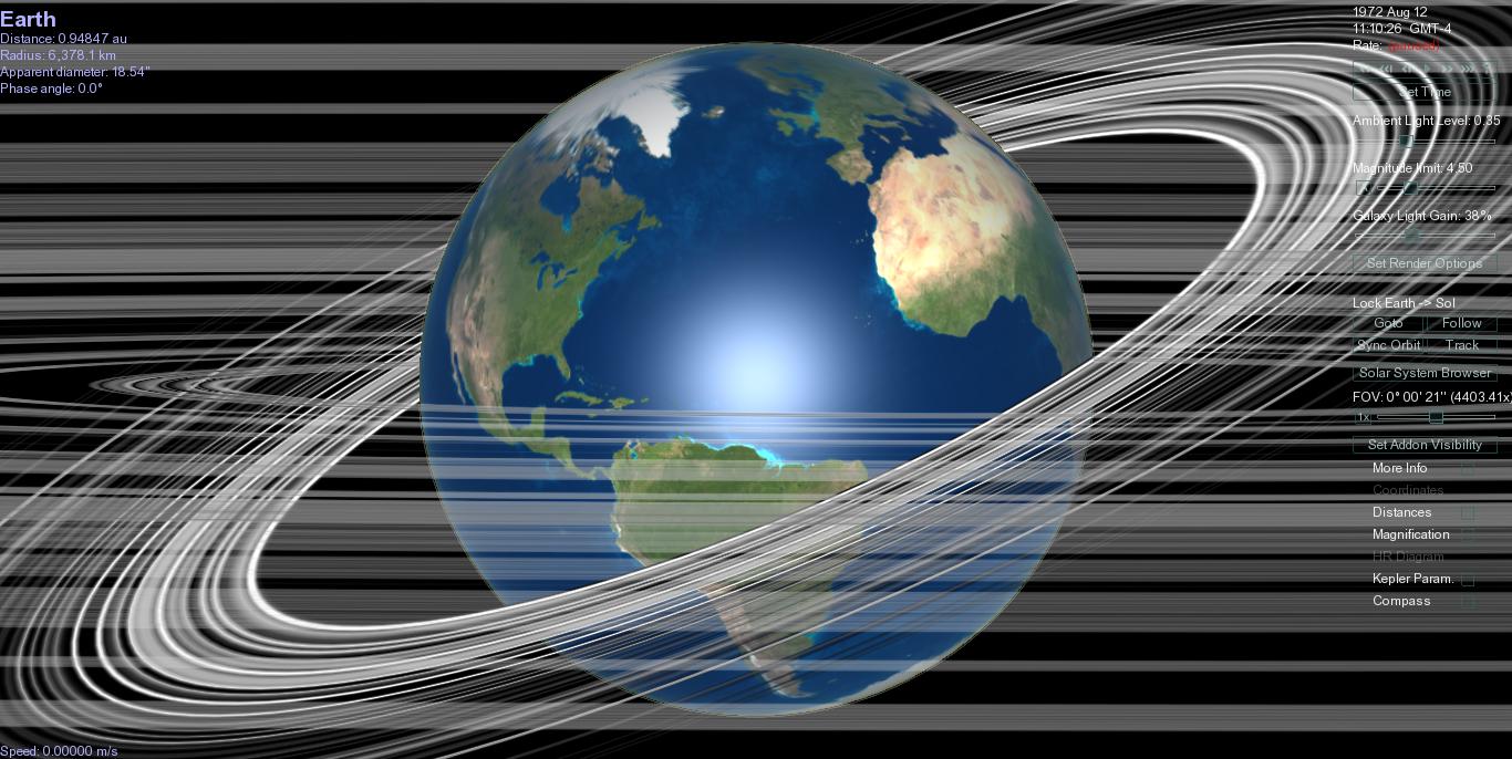
This date was the biggest Perseids ever. From CNN: "NASA advises viewers that 'the Perseids shower will begin around 10 p.m. YOUR local time. However, the best times to view are after midnight and before dawn, with the best activity around 3 a.m. to 4 a.m. local time. Best conditions are a clear, dark sky away from city lights. Go outside and look straight up at the sky.'
The Perseids can be seen all over the sky, but the best viewing opportunities will be across the Northern Hemisphere. Those with sharp eyes will see that the meteors radiate from the direction of the constellation Perseus.
In this year, the innermost ringlet of Moon Ring passed under solar zenith on that day, although that cannot always be so. What if the dust were pushed toward earth? Where is Perseus in the sky relative to whatever the orbit of the inward spiraling dust would be? Are cold years correlated with bright Perseids?
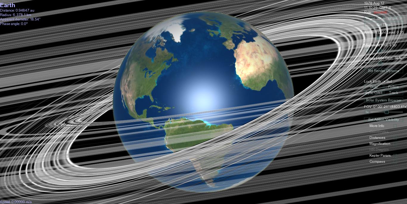
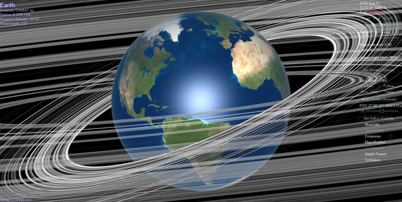
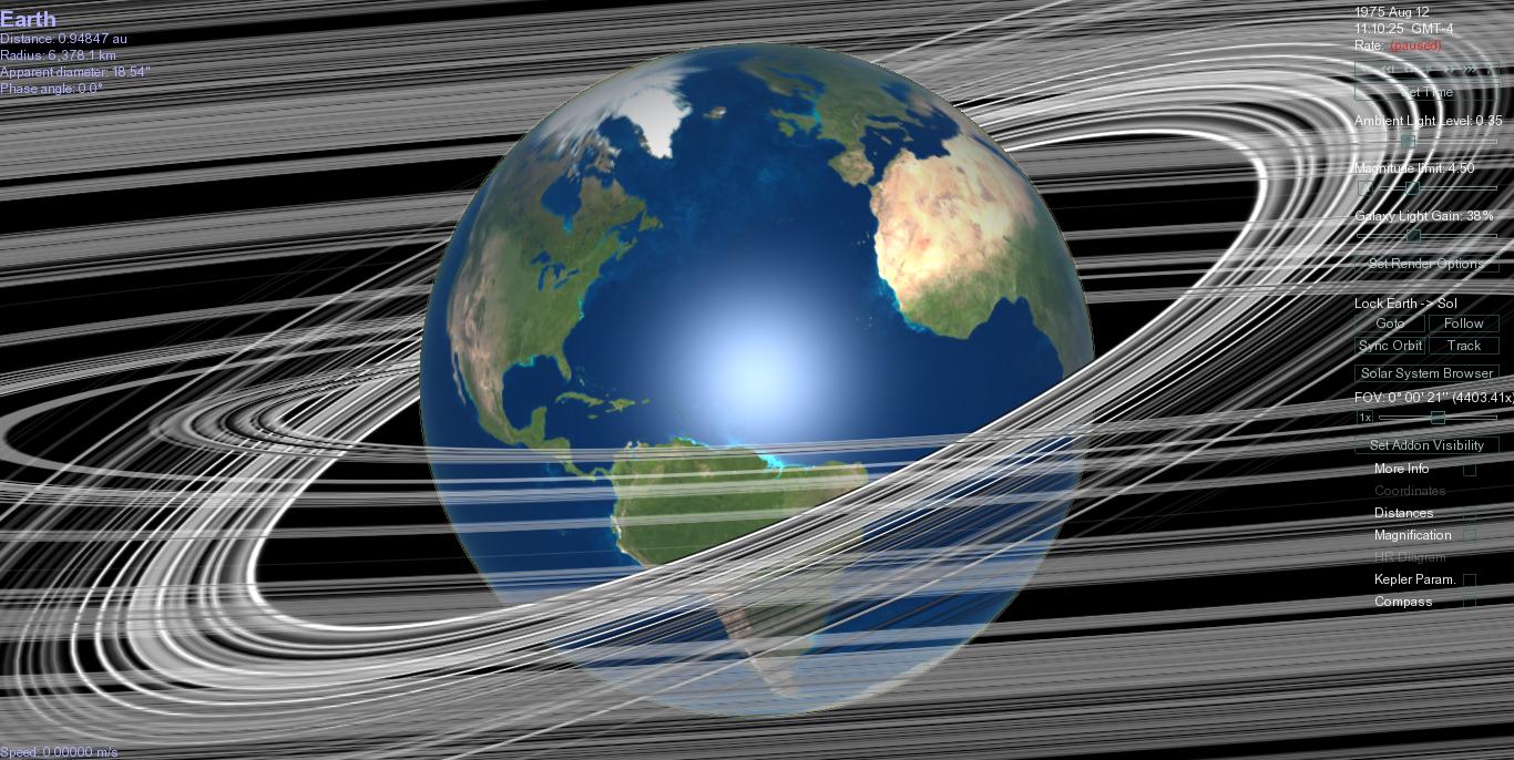
2012 July 23 - August 22 August 11-12 (ZHRmax 100) [7][8]
2011 July 17 - August 24 August 13 (ZHRmax 100) [9]
2010 July 23 – August 24 August 12 (ZHRmax 142) [10]
2009 July 14 – August 24 August 13 (ZHRmax 173)
2008 July 25 – August 24 [11] August 13 (ZHRmax 116) [11]
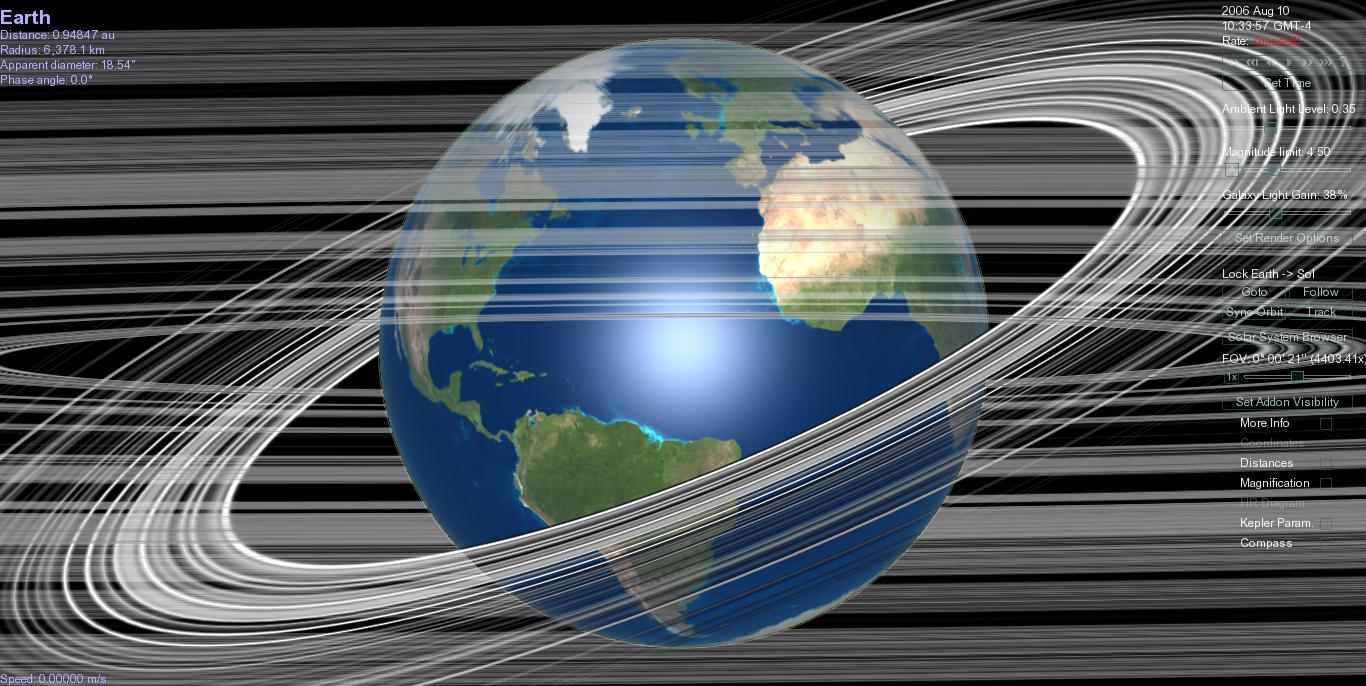
2007 July 19 – August 25 [12] August 13 (ZHRmax 93) [12]
1972 August 12: reported to be the most active shower in recorded history
January 6-7, 1839. Night of the Big Wind, Ireland.